File:Camera-map.png
Jump to navigation
Jump to search

No higher resolution available.
Camera-map.png (689 × 449 pixels, file size: 495 KB, MIME type: image/png)
Map of surveillance cameras in precinct 1. OpenStreetMap data, via cctv.masspirates.org.
File history
Click on a date/time to view the file as it appeared at that time.
| Date/Time | Thumbnail | Dimensions | User | Comment | |
|---|---|---|---|---|---|
| current | 20:33, 26 February 2017 | | 689 × 449 (495 KB) | SteveR (talk | contribs) | Noted another camera removal |
| 11:08, 26 February 2017 |  | 689 × 449 (493 KB) | SteveR (talk | contribs) | Updated precinct 1 map, to indicate cameras that were removed. | |
| 21:05, 23 December 2016 | 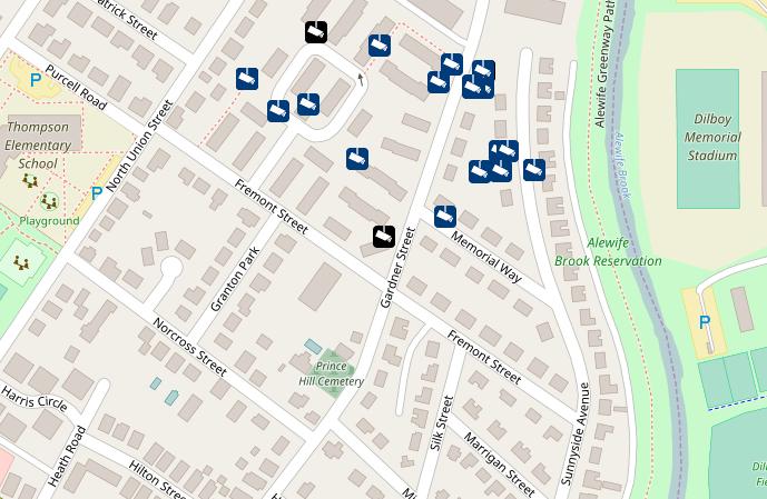 | 689 × 449 (60 KB) | SteveR (talk | contribs) | New map, which now shows the location of 27 surveillance cameras. | |
| 21:42, 20 December 2016 | 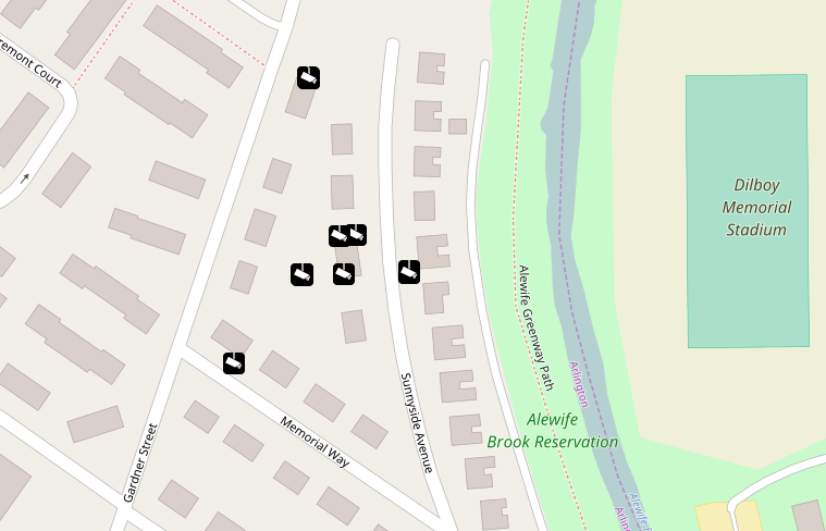 | 759 × 488 (107 KB) | SteveR (talk | contribs) | New map, showing additional surveillance cameras in precinct 1, Arlington, MA. | |
| 21:52, 14 December 2016 | 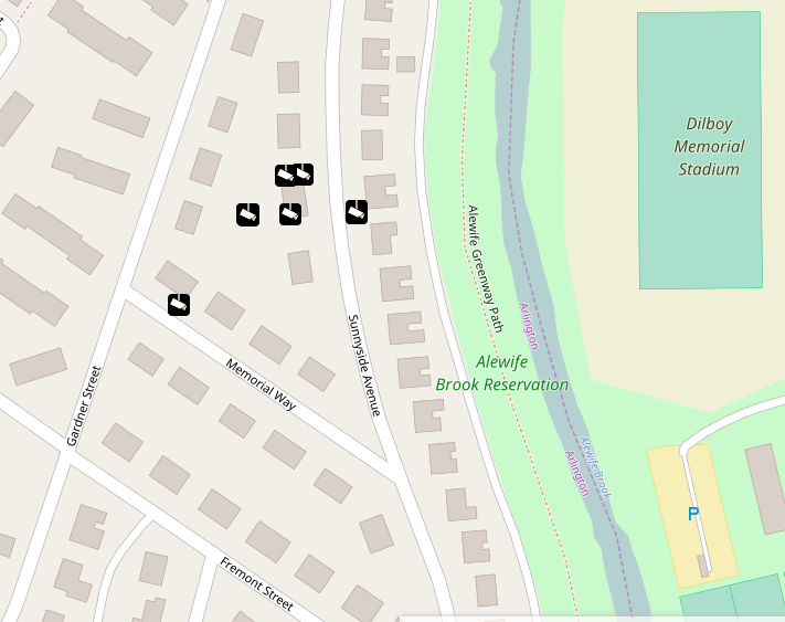 | 711 × 563 (121 KB) | SteveR (talk | contribs) | Map of surveillance cameras in precinct 1. OpenStreetMap data, via cctv.masspirates.org. |
You cannot overwrite this file.
File usage
The following 2 pages use this file: